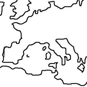
The image shows a map of Europe with the country boundaries outlined in black. The countries are labeled with their names and the major cities are marked with circles. The map is divided into several regions including the Alps, the Balkans, the Celtic Sea, the Mediterranean Sea, and the North Sea. The surrounding countries are France, Italy, Spain, the Netherlands, Germany, Poland, Russia, Sweden, Denmark, and Norway. The map is in black and white, and it has a simple and easy to read layout.
Teil Dein Bild!
Link auf's Bild
Mehr Bilder!
Hilfe
|
Gallerie
|
Nutzungsbedingungen
|
malen & zeichnen
|
Draw images online and mobile
|
Dibuja imágenes en línea y en el móvil
|
online malen


